

Preview
Document Type
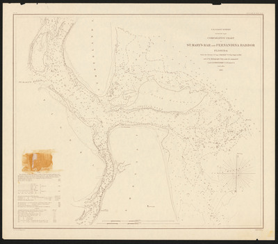
Map
Physical Location
G3922.S18P5 1856r .U5
Contributors
J. Mackay ;S. D. Trenchard ;A. D. (Alexander Dallas) Bache, 1806-1867 ;Julius Bien, 1826-1909 ;E. (Edwin) Hergesheimer ;John Peter Van Ness Throop, 1794-ca 1861
Date of Creation
19--
Publication
United States? : s.n.
Language
English
Description
Includes notes and tides.
Map Scale
Scale 1:20,000
verso
Part of
Allen Lastinger Center for Florida History
Keywords
Early maps; Nautical charts -- Saint Marys River (Ga and Fla); Harbors -- Florida -- Fernandina -- Maps; Saint Marys River (Ga and Fla) -- Maps

Recommended Citation
United States Coast Survey. "Comparative chart of St. Mary's Bar and Fernandina Harbor Florida." United States? : s.n., 19--. Allen Lastinger Center for Florida History. Thomas G. Carpenter Library, University of North Florida. UNF Digital Commons, https://digitalcommons.unf.edu/alcfh-maps/91
Accessibility Statement
This item was created or digitized before April 24, 2027, or is a reproduction of legacy material created before that date. It is preserved in its original, unmodified state specifically for research, reference, or historical recordkeeping. In accordance with the ADA Title II Final Rule, the Library provides accessible versions of archival materials by request. If you are experiencing difficulty accessing the information on the site due to a disability, please submit a request through the following form for assistance.