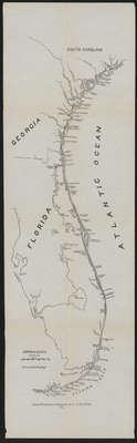
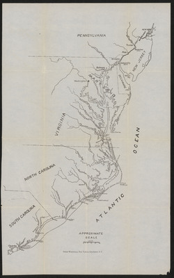
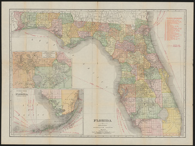
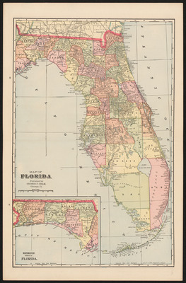
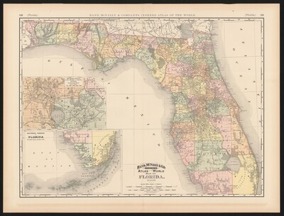
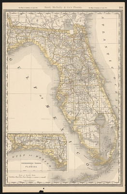
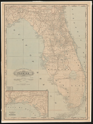
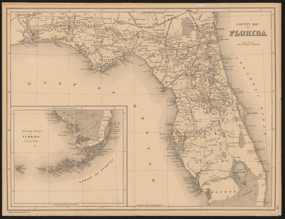
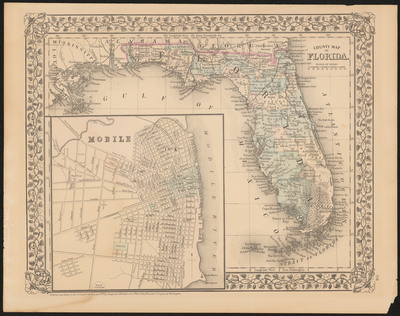
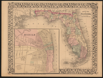
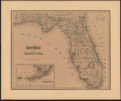
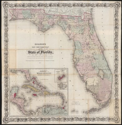
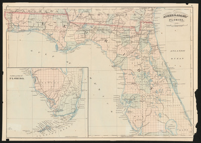
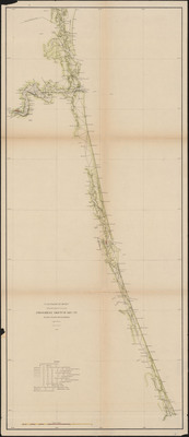
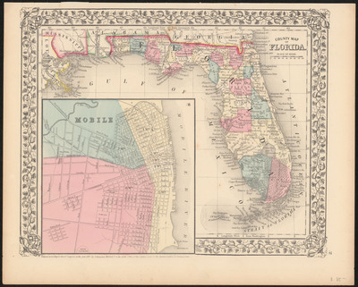
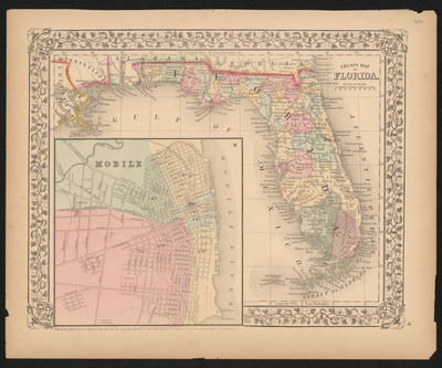
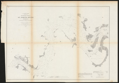
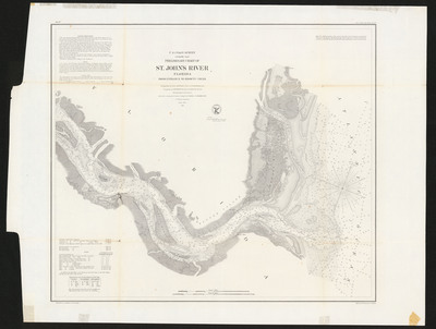
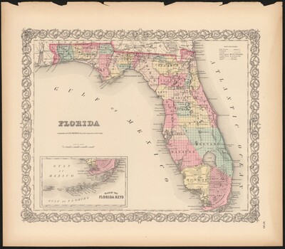
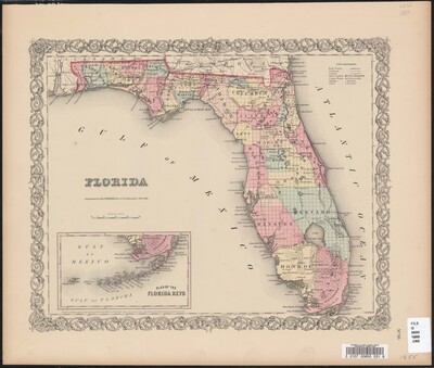
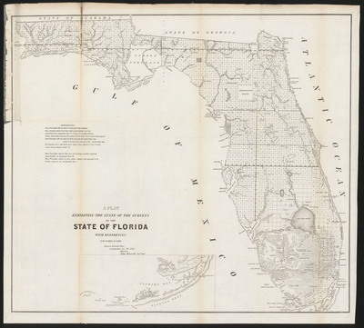
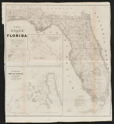
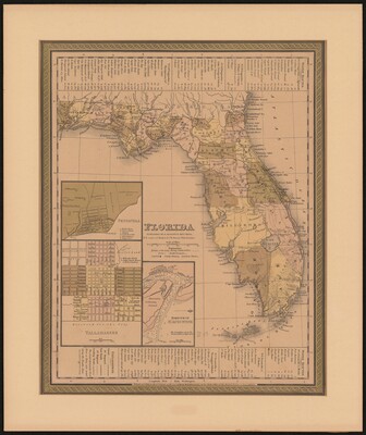
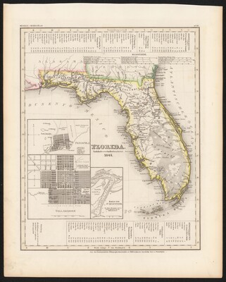
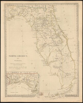
A selection of digitized maps from the Allen Lastinger Center for Florida History
Printing is not supported at the primary Gallery Thumbnail page. Please first navigate to a specific Image before printing.


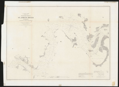
A selection of digitized maps from the Allen Lastinger Center for Florida History


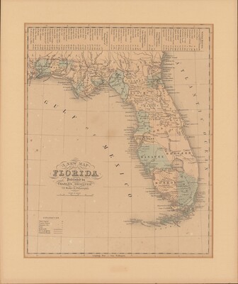
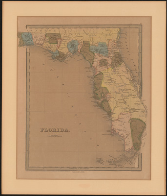
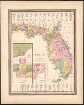
 Greenleaf , 1791-1864")


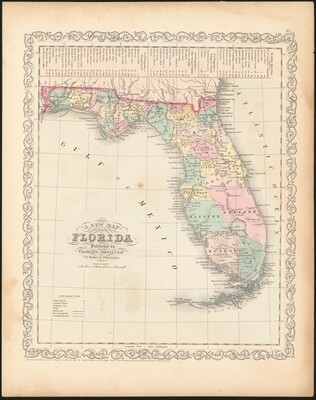
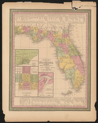
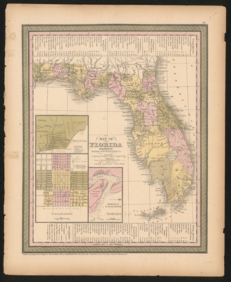
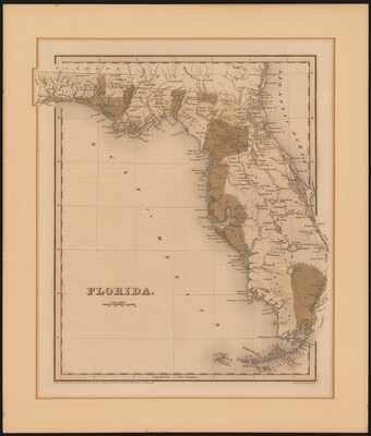
 Bradford , 1802-1887")