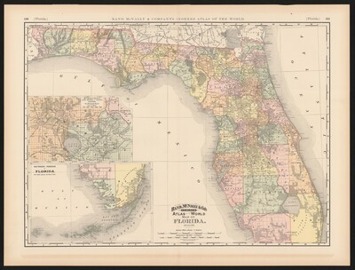
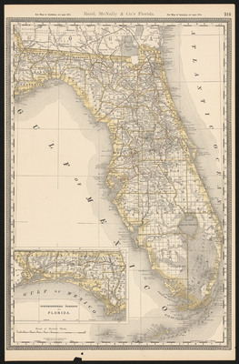
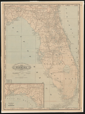
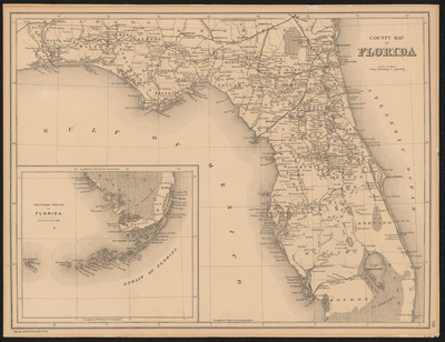
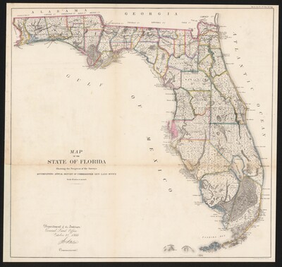
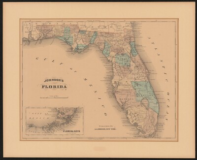
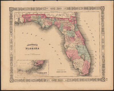
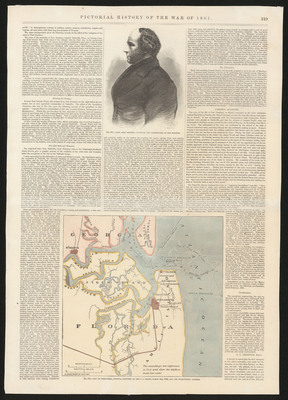
A selection of digitized maps from the Allen Lastinger Center for Florida History
Printing is not supported at the primary Gallery Thumbnail page. Please first navigate to a specific Image before printing.


A selection of digitized maps from the Allen Lastinger Center for Florida History


![A map of the West-Indies or the islands of America in the North Sea; : with ye adjacent countries; explaining [sic] what belongs to Spain, England, France, Holland & also ye trade winds, and ye several tracts made by ye galeons and flota from place to place According to ye newest and most exact observations by Herman Moll , -1732](https://digitalcommons.unf.edu/alcfh-maps/1076/thumbnail.jpg "A map of the West-Indies or the islands of America in the North Sea; : with ye adjacent countries; explaining [sic] what belongs to Spain, England, France, Holland & also ye trade winds, and ye several tracts made by ye galeons and flota from place to place According to ye newest and most exact observations by Herman Moll , -1732")